
|
TABLE 1 Benthic macroninvertebrate and/or fish collection stations on candidate and reference streams evaluated on October 21, 22, 28 and November 12, 1998. |
|
|
STATION |
LOCATION |
|
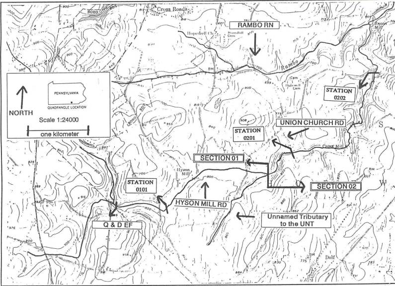
RR1 |
Rambo Run (07374); Approximately 100 meters upstream of Rambo Run confluence with Muddy Creek; East Hopewell Township, York County. Latitude: 39 49 40 Longitude: 76 31 22 |
|
RR2 |
Rambo Run (07374); Just upstream of unnamed tributary (07376) to Rambo Run; East Hopewell Township, York County. Latitude: 39 49 19 Longitude: 76 31 58 |
|
RR3 |
Rambo Run (07374); Just upstream of unnamed tributary (07378) to Rambo Run near Bacon Mill; East Hopewell Township, York County. Latitude: 39 49 00 Longitude: 76 32 13 |
|
RR4 |
Unnamed tributary (07375); Just upstream of confluence with Rambo Run; East Hopewell Township, York County. Latitude: 39 49 46 Longitude: 76 32 01 |
|
RR5 |
Unnamed tributary (073776); Just upstream of Rambo Run near Rambo Road; East Hopewell Township, York County. Latitude: 39 49 21 Longitude: 76 32 03 |
|
RR6 |
Unnamed tributary (07378); Just upstream of confluence with Rambo Run (07374) near Bacon Mill; East Hopewell Township, York County. Latitude: 39 49 00 Longitude: 76 32 13 |
|
RR7 |
Unnamed tributary (07378); Downstream of Church Road/unnamed tributary intersection; East Hopewell Township, York County. Latitude: 39 48 34 Longitude: 76 32 10 |
|
RR8 |
Unnamed tributary (07378); Upstream of Union Church Road/unnamed tributary intersection; East Hopewell Township, York County. Latitude: 39 47 57 Longitude: 76 33 02 |
|
RR9 |
Unnamed tributary (07378); Approximately 100 meters downstream of SR2067/unnamed tributary intersection; East Hopewell Township, York County. Latitude: 39 47 25 Longitude: 76 34 26 |
|
RR10 |
Unnamed tributary (07381); Just upstream of confluence with Rambo Run (07374) Latitude: 39 48 40 Longitude: 76 33 43 |
|
BR1 |
Broad Run (00089); Approximately 1 kilometer upstream of confluence with the West Branch Brandywine Creek; West Bradford Township, Chester County. Latitude: 39 55 56 Longitude: 75 41 27 |
|
BR2 |
Broad Run (00089); Approximately .5 kilometer downstream of Chestnut Lane/Broad Run intersection along Broad Run Road; West Bradford Township, Chester County. Latitude: 39 57 48 Longitude: 75 44 32 |
Return to the Rambo Run and Unnamed Tributaries Page